- Zur Deutschen Seite! -
Impact crater in Northwest Germany?
Update: 14. July 2004
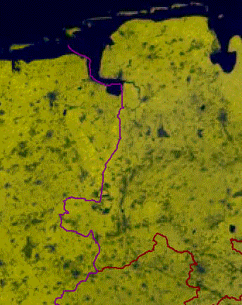
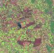
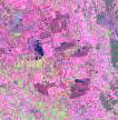
Lila line = border Germany/Netherlands
Red line = border Lower Saxony / North-Rhine/Westphalia
The diameter of the black circle is about 15 km.
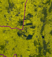
The diameter of the small circle is about 2 km.
| Earth: |
East |
7° |
5' |
|
North |
52° |
38' |
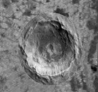
| Mars: |
East |
209° |
0' |
|
South |
5° |
30' |
What happened?
- An age-old impact crater by erosion threadbared and buried then with sediments?
- Planed off glaciers of the last ice ages the residual soil and left a subgrade level?
- Do the outlines of the impact crater draw itself up to the today's surface?
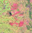
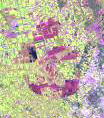
The satellite photographs of the earth come of the CD "D-SAT (version 1.0)"
The satellite photograph of the Marskraters was taken up by MARS EXPRESS.
Source: http://www.dlr.de/mars-express/images/080604
Here down a few cutouts from other satellite photographs they can be found under this address:
http://www.landsat.org/index.html
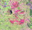
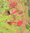
Here still another perhaps interesting aspect:
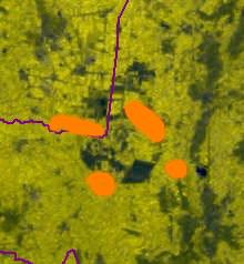
At that in this picture orange drawn surfaces oil is promoted!
Two Links to this topic:
http://www.unb.ca/passc/ImpactDatabase/images/avak.htm
http://gsa.seg.org/Newsletters/news_2002_02.htm
Mail to:Webmaster
Note! Absolutely indicate keyword ' crater ' by reference!